
Issue 028:
SOFTROCK 100
A Four-Day Test Across Hardrock’s Course
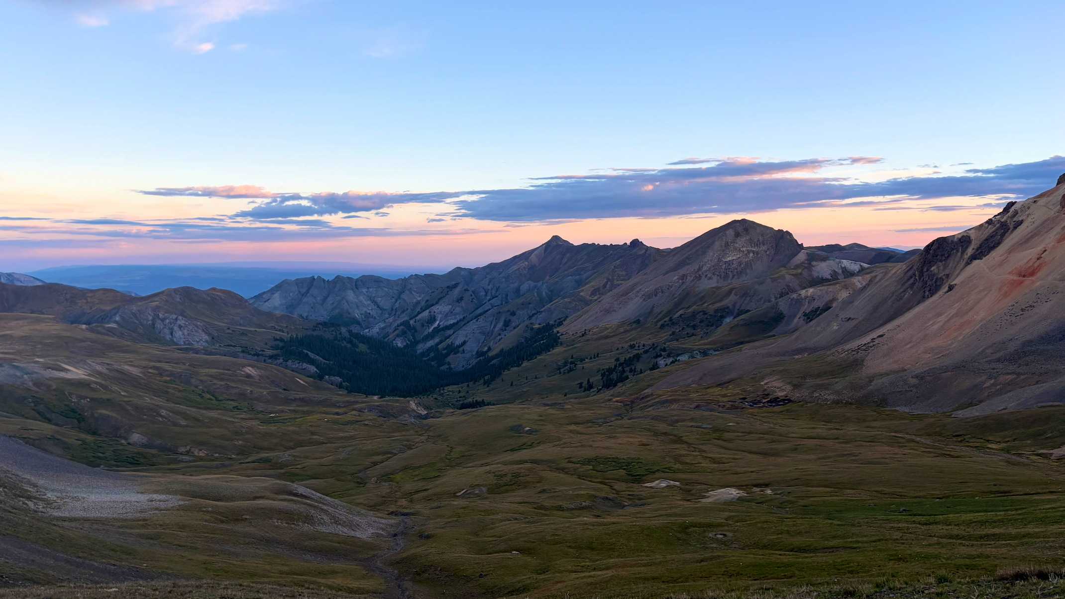
The Hardrock 100 traces a brutal loop through Colorado's San Juan Mountains and is one of the legendary 100-mile ultras. Famous for its staggering 33,500 feet of climbing, 13 summits, and a high point of 14,048-foot over Handies Peak.
My first experience with the Hardrock course was back in 2022, when I crewed John Kelley during his first official 100-mile race. It was also my first trip to the San Juans, and I was immediately hooked. The scale of the landscape felt different from anywhere else in Colorado - vast, exposed, rugged, and wild. It felt like one of the most adventure-packed places I'd ever seen.
Despite being an avid trail runner, I've never applied for Hardrock, nor have I really had the desire to race 100 miles. But I still want to experience the terrain, to see the views, to feel the exposure, and to understand what it takes to move through these mountains for that long. More than anything, I want to better understand the incredible gift these athletes possess and their ability to move over seemingly impossible terrain with such speed, efficiency, and stamina.
A week before, my buddy Andrew had a wild idea. He reached out to me and asked if I was interested in running in the San Juans. Then, with very little convincing, discussed upgrading the trip to the entire Hardrock course. I had thought about doing something like this since crewing in 2022. Hiking or running famous routes has always appealed to me, but there's something different about experiencing a course outside the structure of a race. That's what made the Softrock so appealing and with only a week’s notice, I was fully committed!
Instead of one grueling push, we planned to break the course up into four days, staying in town each night and carrying everything we needed from one stop to the next. This style reminded me of what I’ve always loved about the older ideals of trail running: less about the spectacle of racing and more about marking a route through wild terrain and just going and experiencing it on our own terms.
One of the things that makes Hardrock so special is the way the course connects the history of the San Juan mining era. It moves through Silverton, Telluride, Ouray, Sherman, and dozens of ghost towns, prospect tunnels, collapsed headframes, and abandoned mining roads. These miners carved roads, laid rails, and blasted tunnels into places that still feel nearly impossible to reach with modern equipment. They moved mountains sometimes literally with hand tools, mule teams, and sheer stubbornness. Running through that landscape makes the history feel different. You're not looking at an old photograph or reading a sign beside a trail. You're standing on the same terrain, climbing the same mountains, and wondering what the hell those people were thinking. That was one of the reasons I wanted to do this trip.
The other thing that made this trip special was to test the Jackalope Fastback. The fastback is Yonder's 25-liter pack built around self-supported, multi-day adventures. Softrock felt like the perfect proving ground. We loaded it with roughly 17 pounds of gear and supplies and committed to carrying everything we needed between towns. (Food. Water. Layers. Emergency gear. Critical essentials. Everything).
The goal wasn't simply to see if the pack could carry the weight. We wanted to know if we could actually run in it for hours, day after day, over some of the most demanding terrain in Colorado without destroying my back, shoulders or any other unexpected issues. If we're going to call something the most runnable pack in its category, we need to earn that claim, so Softrock was the test to do it.
On Sunday evening, we met in Lake City during the last week of August. Somehow, the timing was perfect across all conditions. The plan was simple: start at Cataract Gulch, run the course in sections, and sleep in the towns along the way rather than dealing with camping logistics. Three of the four days would be more than 28 miles, with roughly 9,800 feet of climbing each. Because this adventure was thought up a week in advance, I had not trained, with maybe 20 miles of cardio a week, so this was basically going to be an “off-the-couch” adventure - not exactly a carefully prepared ultra.
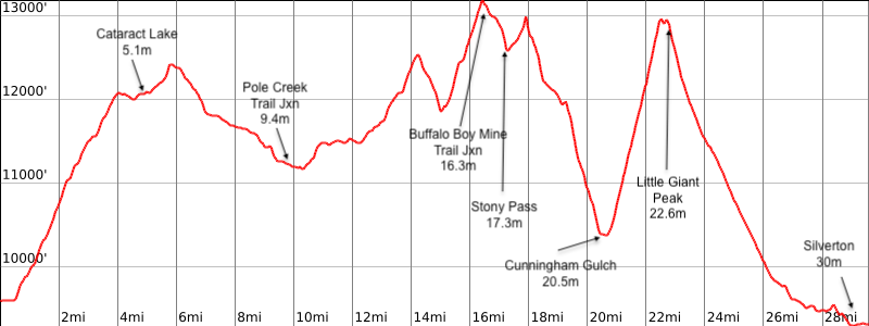
Day 1: Sherman to Silverton (30 miles | 9,000' ascent | 9,300' descent)
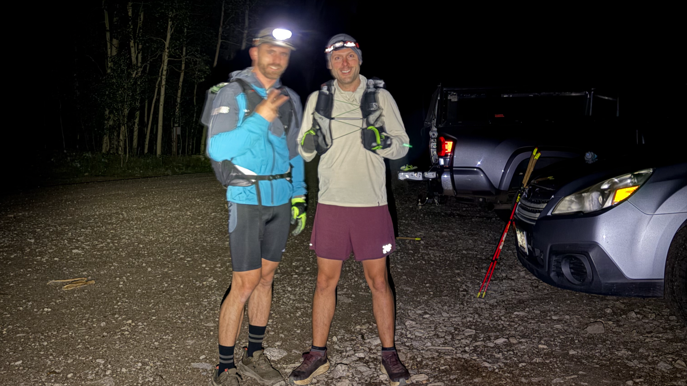
A stark night at 3am, we prepared in the dead of night for our first push into Cataract Gulch. We had amazing weather with cool, but not cold temperatures. First light came in just before 6am and we had already covered 10-miles by this point! One thing that makes this course difficult comes from the many water crossings throughout which notoriously creates trench foot if you don’t manage the moisture by changing socks out anytime they get soaked… a mistake I made out of ignorance the first day that plagued me the rest of the trip.
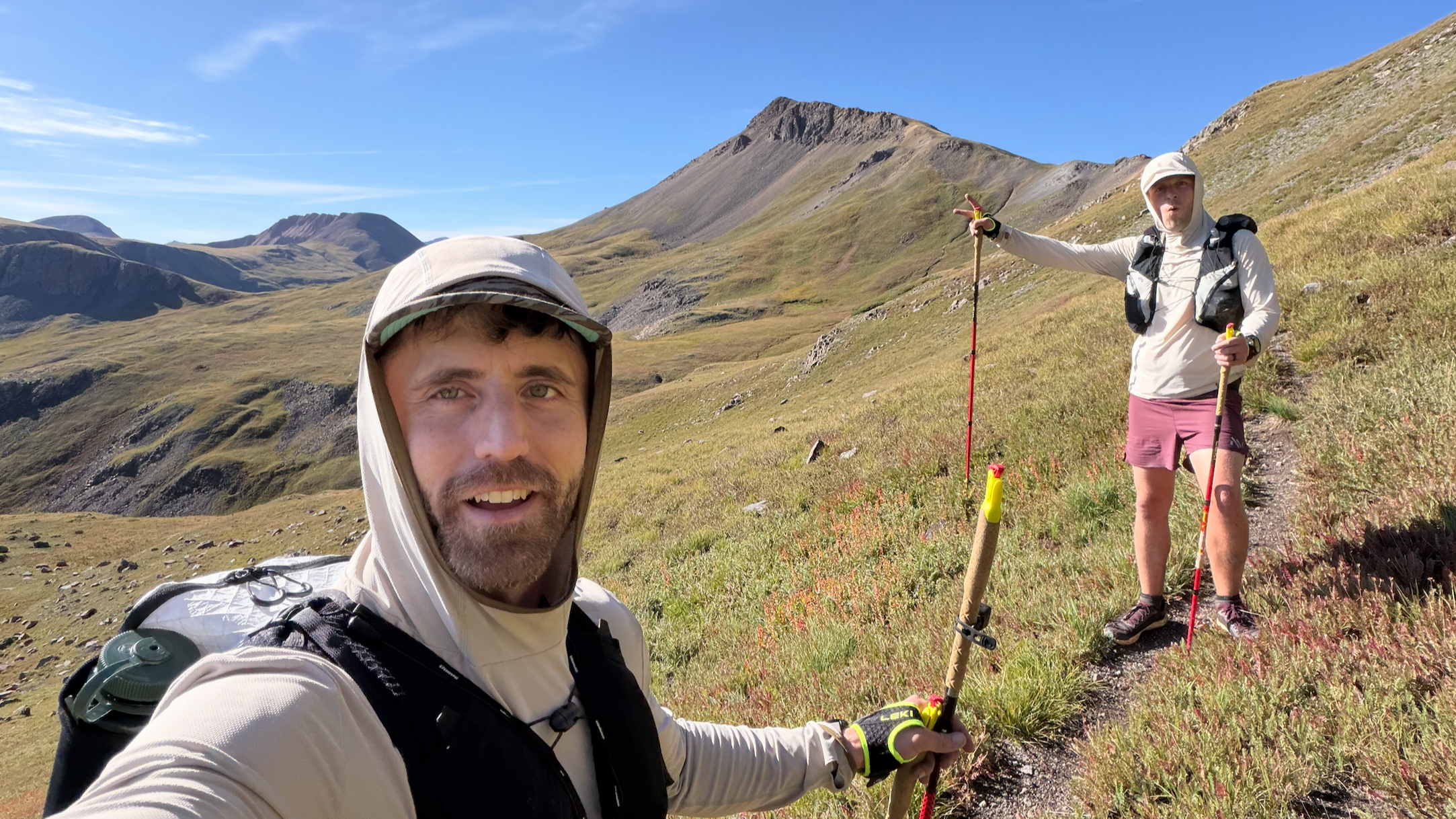
By 8am, we were feeling the heat against the back of our necks, but with fresh legs, we had not a care in the world and just kept jogging along the single track course with several herds of elk and four moose sightings. Each time we crested over a pass, we would stop and stare back to retrace the path we had covered, always in shock at not only the vista, but the varied terrain we had just trekked. Despite still getting acclimated, we had cleared our third ascent over Stoney Pass around 18-miles in 7 hours.
By 1pm and 23 miles behind us, Little Giant Peak kicked us in the ass, which we reflected back on to recognize that we didn’t do a good job with water or calorie management that first day. Despite that, there was nothing holding us back from a steady shuffle. By mile 29, we could see the town below and took our time walking the remaining distance as our knees were tired from breaking downhill the last 6-miles. We officially stepped off the trail right at 3 o’clock and didn’t stop moving until we entered the Axon Hostel - a cozy favorite for through hikers.
Our room was furnished with handmade bunkbeds and multi-colored gym lockers for storage. Just enough room to stand up straight shoulder to shoulder, but we didn’t care that is was cramped because we just wanted to shower, eat and rest.
Sherman: Once a bustling silver camp with its own post office and hotel in the 1880s, now a quiet ghost town with weathered cabins and rusting ore bins.
Cataract Lake: A high alpine lake near early silver prospects; miners often camped here while surveying.
Pole Creek: Remote grazing and prospecting area; scattered remains of small diggings still hide in willows.
Maggi Gulch: Home to the Buffalo Boy Mine and other gold/silver claims worked until the 1920s.
Green Mountain: Overlooks multiple historic mining basins.
Cunningham Gulch: A once-productive area that fed ore to mills in Silverton. The Highland Mary Mine sat just above.
Little Giant Pass: A rugged crossing into the Animas River drainage with views of Silverton’s smelter site.
Silverton: Founded in the 1870s during the silver boom, by 1883 it had 400 buildings, including 29 saloons.
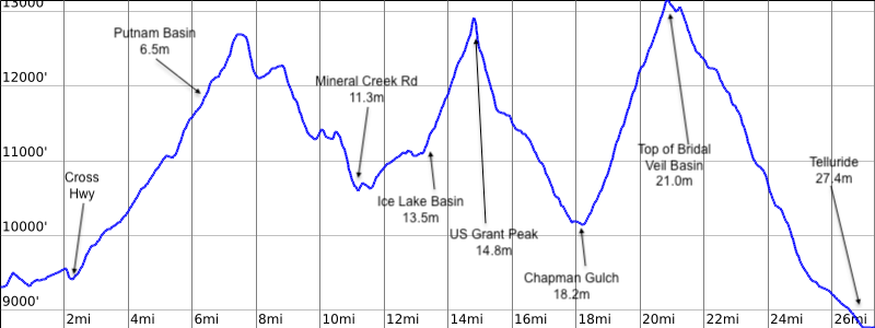
Day 2: Silverton to Telluride (29 miles | 9,800' ascent | 10,300' descent)
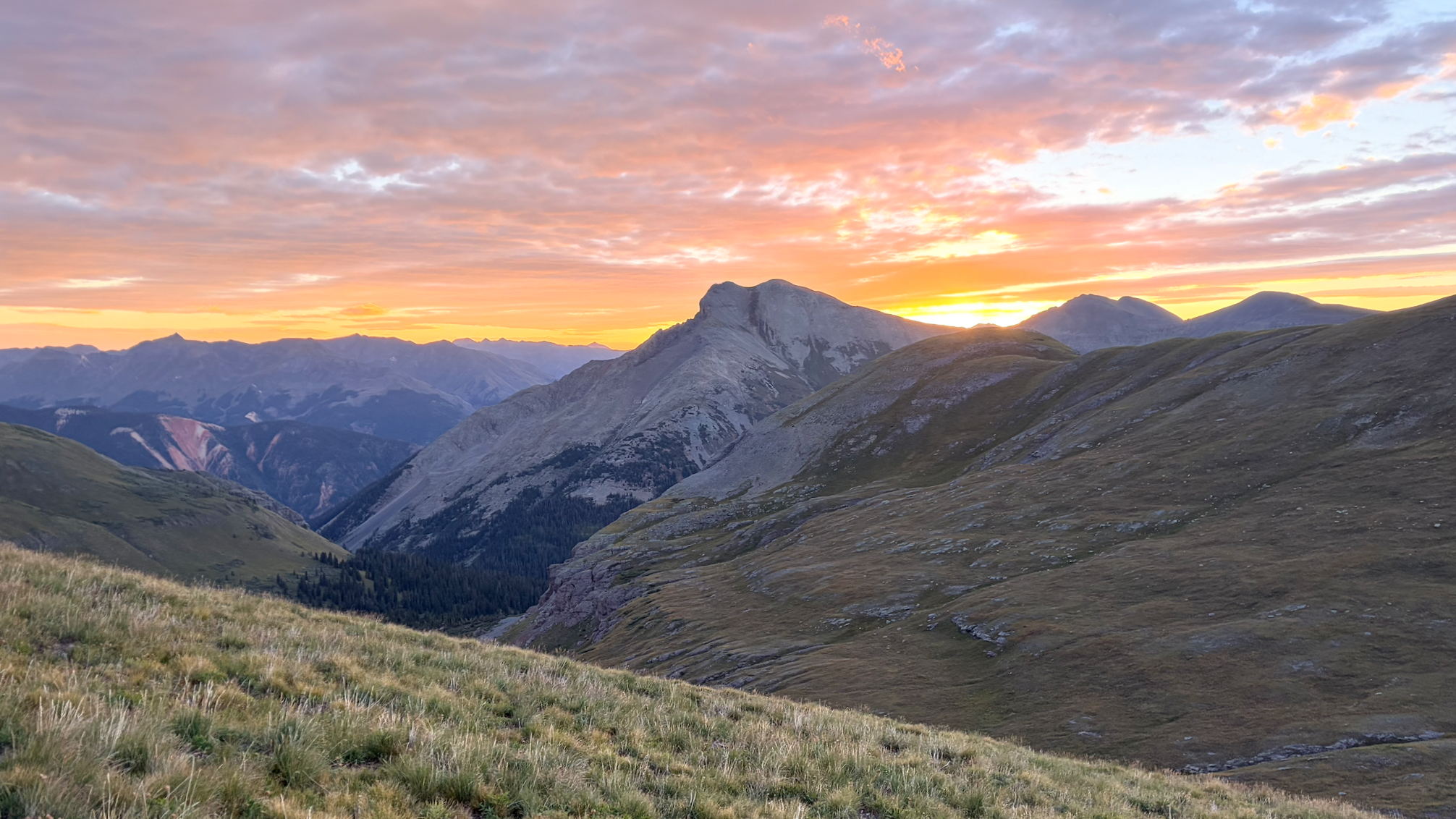
Sitting on the floor of the hostel at 2:45am, I lather up my feet with a layer of Aquaphor gel to relief some of the blistering that happened the day before. This was going to be a big day with long, steep climbs. We hiked through the quiet town streets back to the trailhead and quickly knew we were going to have a tough day ahead of us as we felt sore while coming into the most vertical ascents of the trip.
By 4am, we took our time crossing the creeks, removing our shoes and socks then drying them off after crossing. First light peaked out around 7-mile in. We soaked our legs by 8am in Mineral Creek, refueling properly every hour unlike the day before.
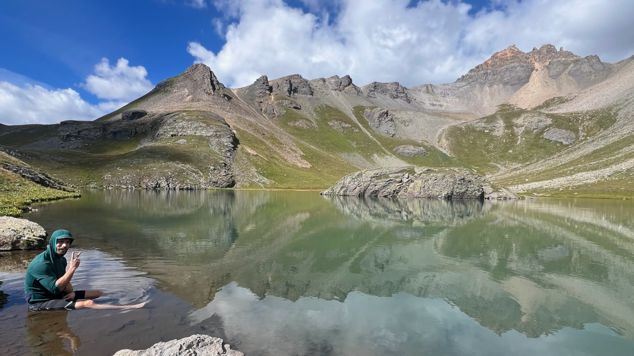
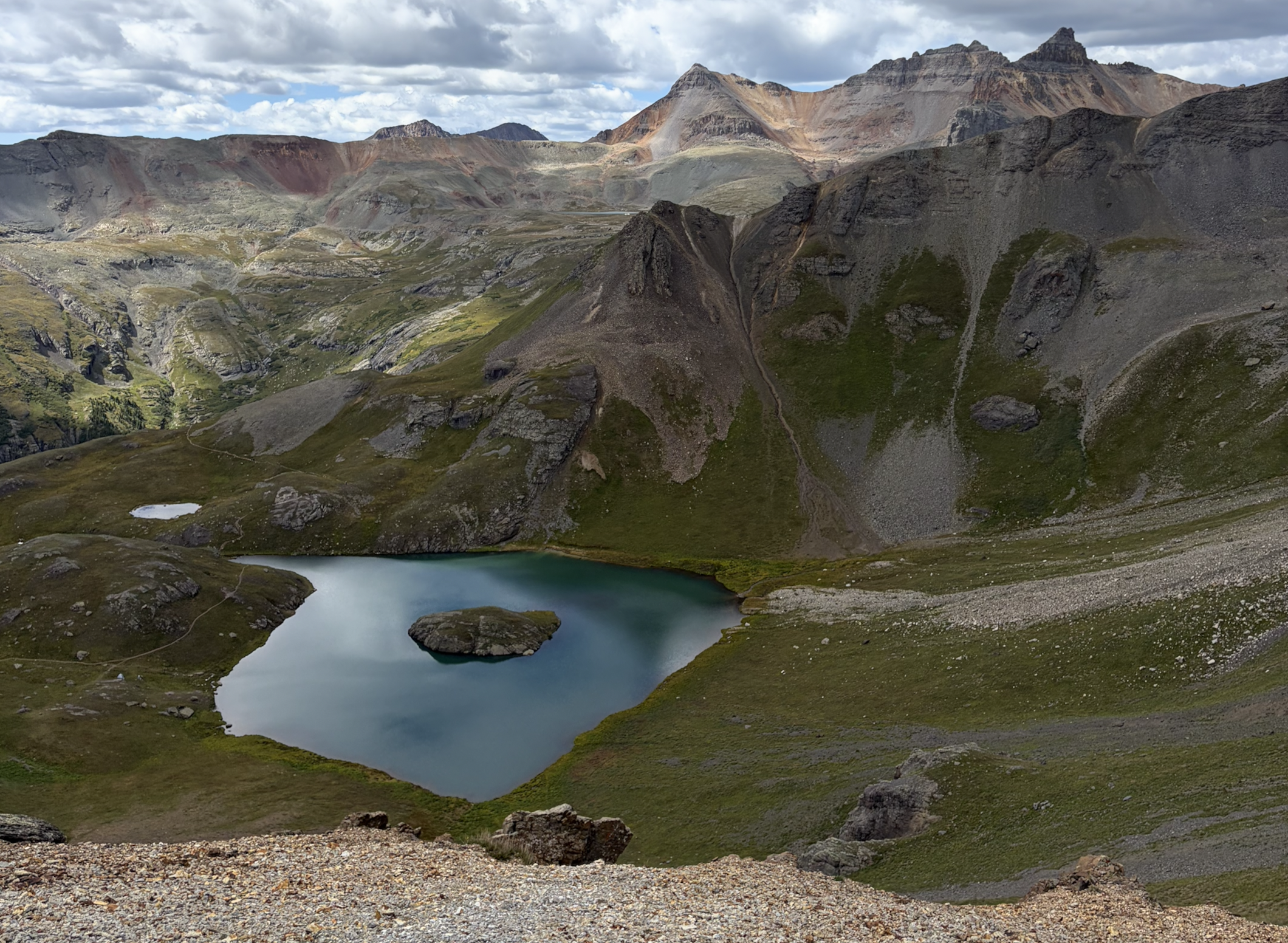
Five hours and 12-miles in, we turned on the over-drive in our legs as we ascended up towards US Grant Peak. The sun was finally strong and cooking us by 9:30am but a well placed waterfall allowed us to stand underneath the cold cascade to soak our clothes and cool down before another grueling ascent. At Island Lake, we stayed a bit longer to eat and numb our legs in the cold water - a refreshing moment in hopes to bring back some power in our legs. Roughly 7.5 hours, we crested over the second pass and down the barrel of the infamous scree field towards Chapman Gulch on the opposite side.
This is a very loose and aggressive slope where it’s almost better to “full-send” because the ground slides with you giving a sensation of skiing down the mountain. Any attempts to cautiously move or slow down would only encourage the rocks to break loose and cause us to fall continuously.
Eleven hours and 20-miles later, we trudged the last few 100 feet up and over Bridal Veil Basin. The path down was a troubling rock field of iron rich stones that exhaust your legs and forced us to ditch the trekking poles and its stability.
Shortly therein, we were overtaken by thunderstorms while still being well above 12,000’. We had rain and lightening directly over our heads for several hours as we scurried down 4,000 feet of slippery switchbacks. We finally arrived in Telluride by 5pm exhausted. Even though being tired, we walked straight into Strong House, a restaurant where we blankly stared and chewed our food until some life began to reenter into our eyes.
With two days of trial and error behind us, it was important that we now take in a lot more calories and water that night before bed, so we raided the grocery store for snacks - my personal choice, a CokeFloat!
Mineral Creek: Steep valley where ore wagons once rattled down to the Silverton smelters.
Putnam Basin & Lime Creek Saddle: Summer grazing for miners’ pack animals; a few exploratory pits still visible.
Island Lake: Jewel-blue tarn near the Idarado Mine tunnel system.
Grant Swamp Pass: Historic mule route between Telluride and Silverton mining districts.
Chapman Gulch: Once had a small sawmill supporting area mines.
Oscar’s Pass: High saddle on an old supply route into Telluride.
Telluride: Founded in the 1870s, rich in gold and silver; the Smuggler-Union Mine was one of the most productive in Colorado history.
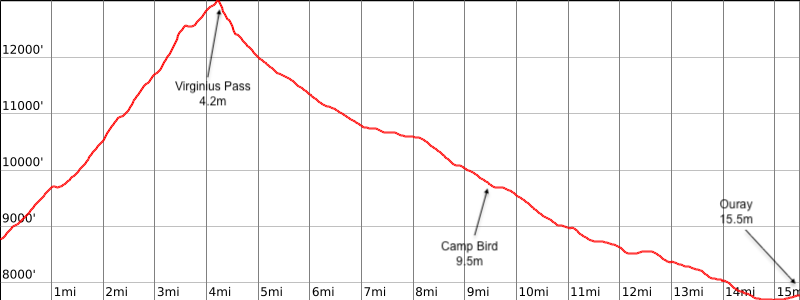
Day 3: Telluride to Ouray (16 miles | 4,500' ascent | 5,500' descent)
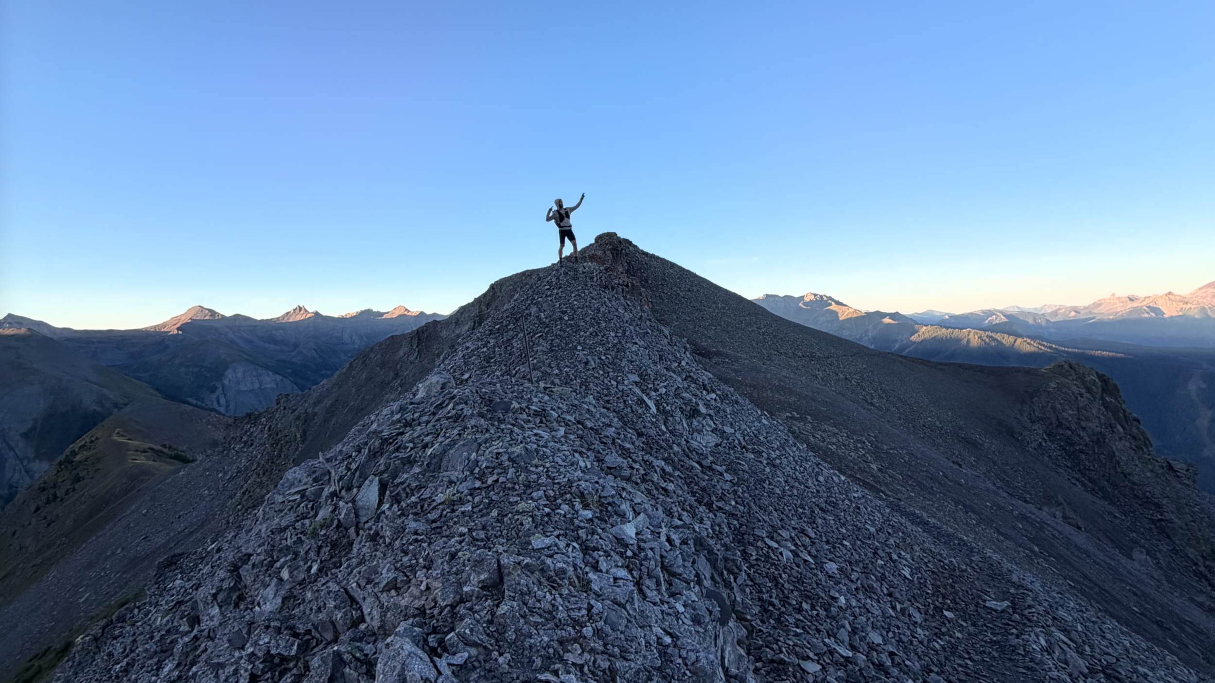
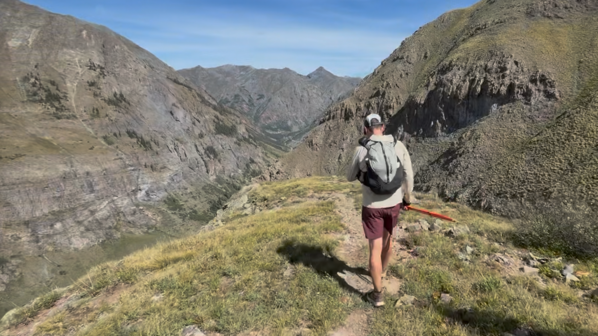
This was going to be our “easy” day. A shorter day, but also an aggressive ascent to Virginius Pass. Entering into Bear Creek Preserve by 4am, the trail was actually very pleasant. A wide flat dirt trail that allowed us to press down into our poles and power up hills much faster. By 7am, we summited the pass - a false sense of feeling like the hard part was now behind us. Although the remaining path was a steady downhill, the path was not something we could necessarily jog, let alone walk down without bracing ourselves on tired legs. The trail kicked us out onto a service road that was a common path for recreational vehicles. This was around mile 10, so we could open up out stride just enough to be pushed by gravity the rest of the way down into Ouray.
For whatever reason, the last 3 miles really were a struggle for me. I had to separate myself from the discomfort and focus only on continuous motion because stopping and restarting became very difficult. My ankles felt very compressed and the souls of my feet felt raw from hot spots due to the constant breaking motion jogging downhill - I would recommend wrapping large bandaids around your heels and across the balls of your feet before each day as a sacrificial layer to counter the friction.
Once in Ouray, we checked into the Box Canyon Lodge and soaked in their hot spring pools - a true Softrock advantage.
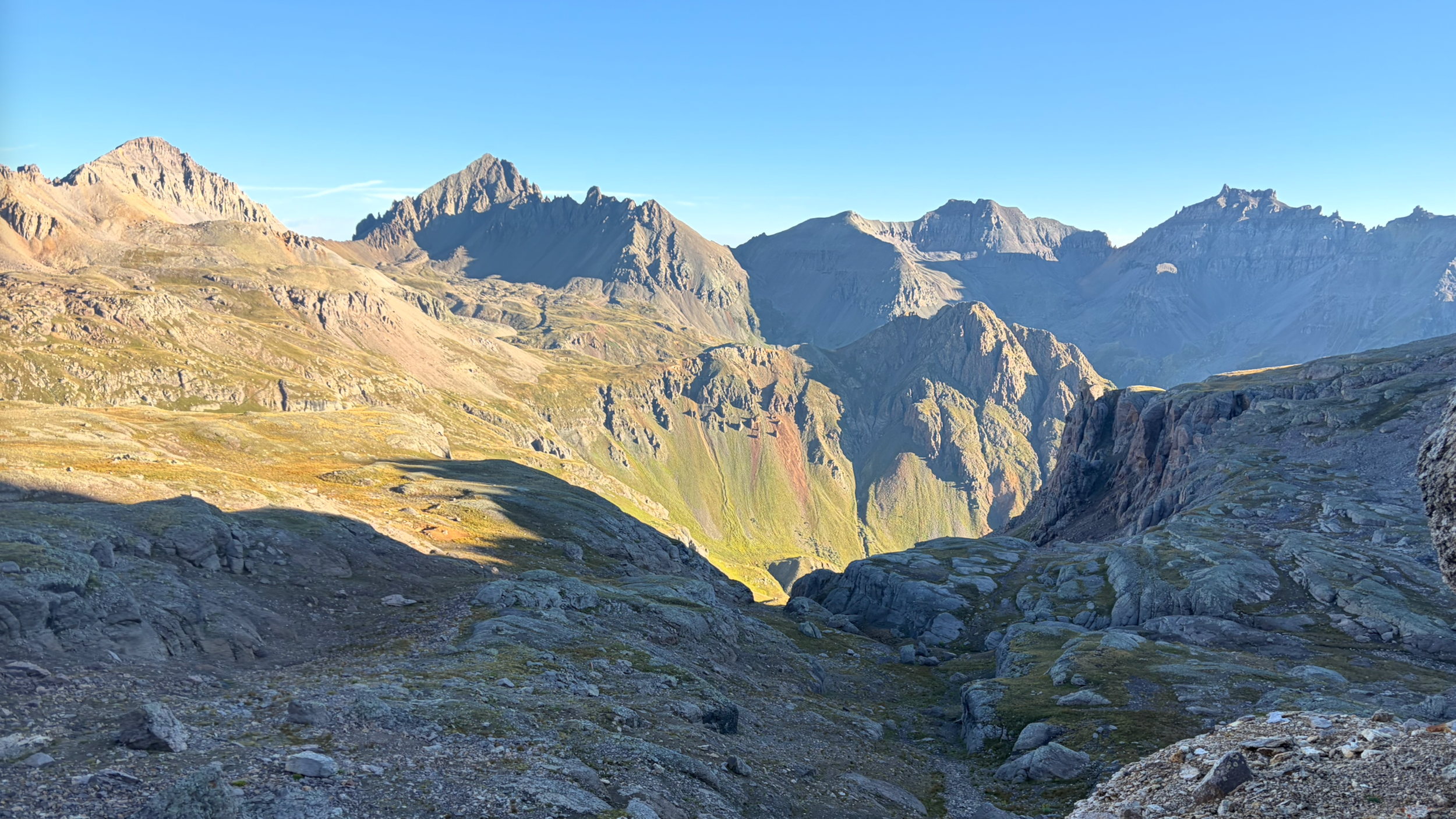
Virginius Pass / Kroger’s Canteen: Narrow notch above the Tomboy Mine, once a thriving camp with over 900 residents and its own ice rink.
Governor Basin: Site of multiple lode claims; ore was trammed to mills far below.
Camp Bird Mine: Discovered in 1896 by Thomas Walsh; produced over 1.5 million ounces of gold and became one of Colorado’s richest mines.
Ouray: Known as the “Switzerland of America,” the town boomed with silver, lead, and zinc mining in the late 1800s.
Day 4: Ouray to Sherman (28 miles | 9,600' ascent | 7,800' descent)
Like many of these types of adventures, our legs felt great on Day 1, but a multi-day effort can sometimes take until the third day to get into a groove. By 2am on our final day, we were ready to take on anything. Not only did our legs feel surprisingly good, but we had adjusted to the elevation so we felt strong moving fast at elevation. Heading into Bear Creek Trailhead, the route had a unique rocky surface that sounds a lot like broken bottles or ceramics as we crunched our feet and poles into them. The air was extremely hot that early in the morning, maybe in the 70s if we had to guess. With a full moon overhead lighting the way, we could only assume the heat came from the flint-like rocks that would retained heat overnight. Like clockwork, first light came about around 6am and we had already covered 9 miles!
Now this next section was by far the most satisfying to me because the road was wide, the air was cool, the breeze was constant and the sun was still tucked away for us to maintain a steady jog the entire way down to Grouse Gulch Junction. We arrived with big smiles on our faces having just completed a massive amount of mileage relatively easy for a last day effort. The victory was short lived with lots of calories and water at the base as we fueled ourselves in preparation for what was now considered the final challenge of the trip.
Slowly but surely, I had never felt this way before - my mind was so present, so singular in its goal, that reflecting back on it, the miles floated by. Time was irrelevant, all that mattered was consistent effort. I pulled the brim of my hat low, my sun hoodie deep and my sun glasses close to provide a narrow field of view so that I didn’t dwell on the final destination but only the step in front, one by one which had us arrive at American Basin by 10am.
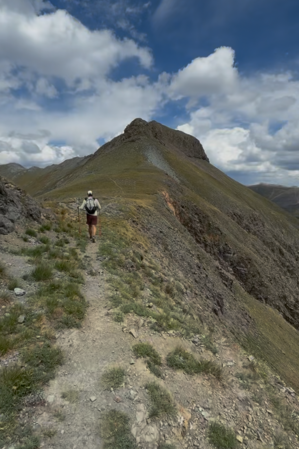
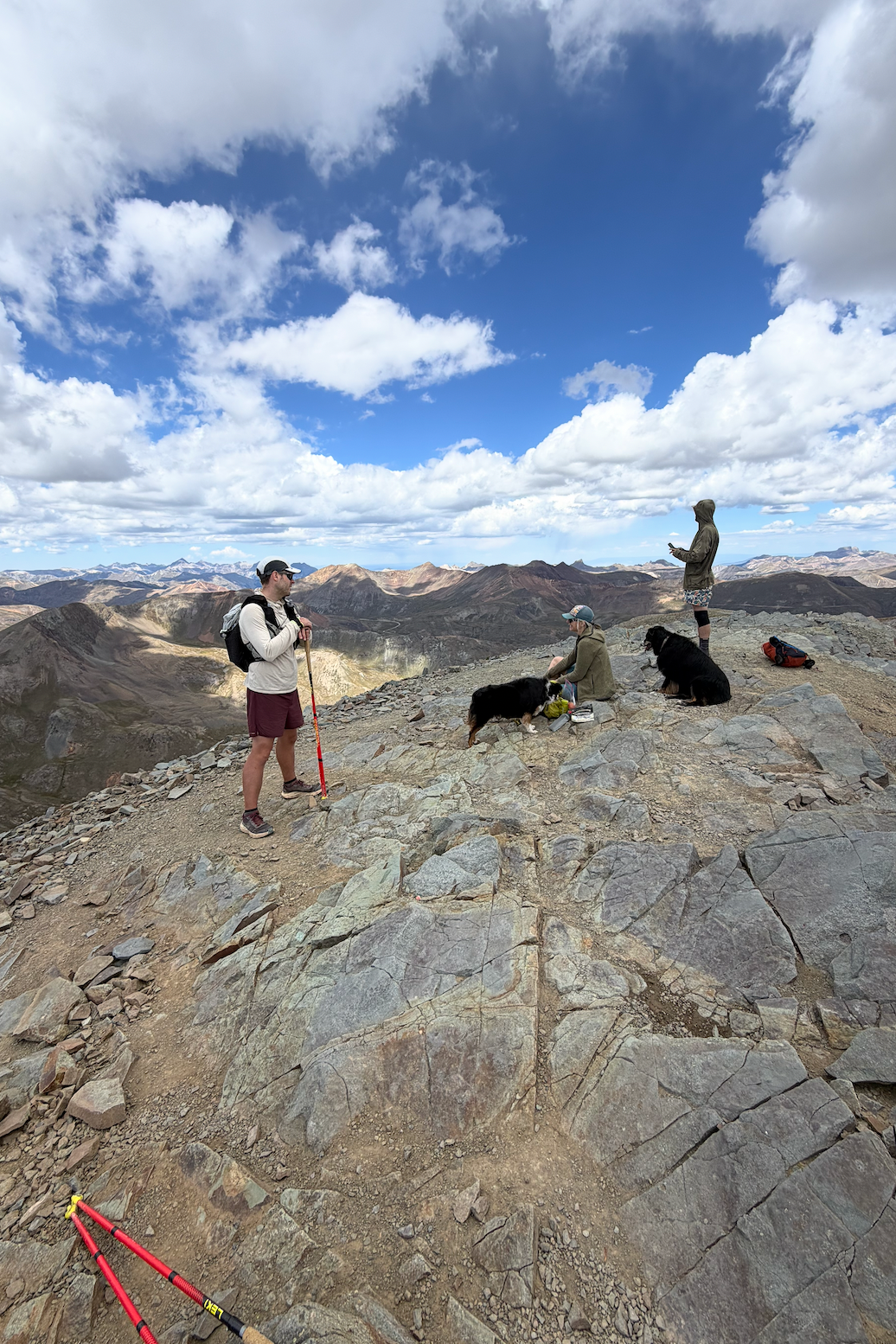
Bear Creek Trail: Cut into cliffs by miners heading toward the Yellow Jacket Mine.
Engineer Pass: Once part of the Alpine Loop supply route between mining camps.
Animas Forks: Ghost town at 11,200 feet; once had a hotel, saloon, post office, and several large mills.
Handies Peak:– The race’s high point; nearby slopes were dotted with silver claims like the American Tunnelarea.
Burrows Park: Another ghost camp, active in the 1880s with a cluster of cabins and a stamp mill.
Return to Sherman: Closing the loop where the adventure began.
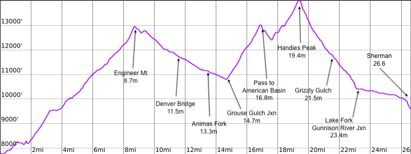
I locked in on my heart rate and breath without ever breaking and eventually I heard Andrew make a noise that caused me to look up and see he was just about to summit the top of Handies Peak. An incredible 4-day challenge that now started to feel like was coming to an end by 11:30am. A huge accomplishment that we considered to be the last obstacle in our way towards the finish. Something about knowing it was all almost over helped keep our spirits extra high despite the decent not being much easier. About 1,000 ft a mile of downhill, I recognized that my legs preferred 500ft/mile or less to be considered jog-able. That meant that I was walking most of the decent until we arrived at Lake Fork / Gunnison River Junction. The remaining milage was another wide and manicured service road that allowed us to shuffle our way all the way back to the start.
By Friday at 2:38pm, 102.5 total miles completed, and 46 hours of total hours on trail, we arrived back to our cars.
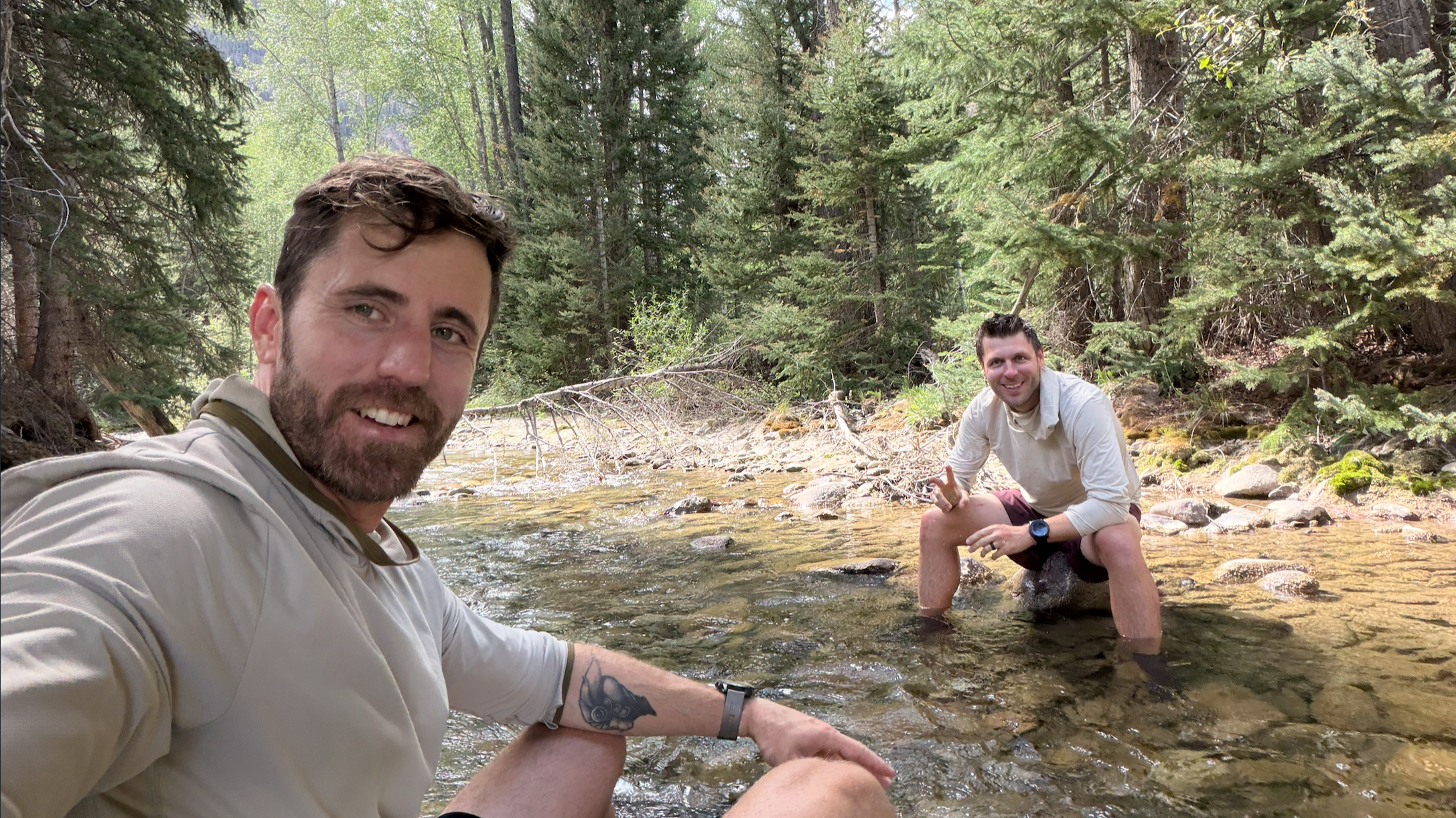
We had an amazing 4 days on the Hardrock course, but now it was time to recover. That evening, we shifted gears from trail runners to professional drinkers, hanging at a bar and chatting with strangers. It was a wonderful way to celebrate amidst these majestic mountains. Looking back, Softrock was everything we hoped for: a perfect blend of adventure, history, and the pure joy of running through some of Colorado’s most spectacular and storied landscapes.
-CB